
careers in geography
A great choice for the world’s future
Professional geographers pursue a wide and ever growing range of career paths. From academia to private firms, from nonprofit organizations and NGOs, and state, local, and federal government agencies, geographers can be found working in every sector of the workforce.
Some of the ways that geographers are making valuable contributions to the work and performance of businesses, nonprofits, and government agencies include:
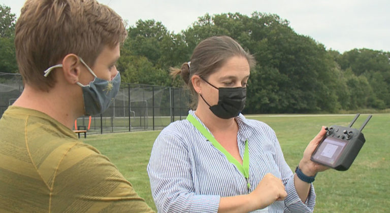
Geographers analyze the ways in which people interact in economic, political, social, and spatial contexts. Geographers offer a powerful perspective that can help employers take the specific needs and interests of a population into consideration when making decisions. From emergency-response teams using GIS technology to model high-risk areas that could flood during hurricanes, to designing digital maps that help ambulance drivers and firefighters respond to disasters more quickly, the work of geographers can save lives.
Geographers study natural phenomena and work in areas as diverse as conservation, climate change, geology, meteorology, hazards, and natural resource management. Geographers understand human-environment relationships and how to use that information to manage natural resources and to protect the planet as a whole. The digital maps and geospatial tools geographers use have a myriad of positive effects for society and the environment, such as reduced air pollution through more efficient transportation because of GPS navigation, which could potentially reduce global CO2 emissions by 5% per year (Alpha Beta, 2017).
Geographers, using geospatial tools such as GIS and GPS, are able to map and analyze economic data in search of important spatial patterns and relationships that can significantly enhance business efficiency and profitability. Spatial and temporal analysis is an important component of a geographic education and a skill valued by a large number of business employers. Recent reports suggest that online maps facilitated business sales worth more than $1 trillion globally. Businesses using geospatial services to improve productivity or sales reap substantial benefits, with recent research suggesting total geospatial revenues could be worth $1.6 trillion in the US alone (Alpha Beta, 2017; Boston Consulting Group, 2018).
Whether you are a recent graduate just starting out in your career or an experienced geographer, the AAG is here to guide you in connecting with watershed opportunities.
Whether you are a recent graduate or taking the next step in your career, the AAG is here to guide you.
GLOSSARY
Relationships between fields and careers
-
Geomorphology
Geomorphology:
Knowing and applying geographic information about geology and the processes that shape physical landscapes (e.g. soils, hydrology, topography, erosion)
- Soil and Plant Specialist
- Water Resources Specialist
- Environmental Scientist
- Geophysicist
-
Weather and Climate
Weather and Climate:
Knowing and applying geographic information about weather, climate, and atmospheric processes (e.g., temperature, precipitation, air quality)
- Climate Change Analyst
- Weatherization Installers and Technician
- Atmospheric and Space Scientist
- Climatologist
-
Biogeography
Biogeography:
Knowing and applying geographic information about ecosystems and ecological processes (e.g., vegetation, wildlife, natural habitats)
- Soil and Plant Scientist
- Natural Sciences Manager
- Zoologist and Wildlife Biologist
- Forester
- Biological Science Technician
-
Natural Hazards
Natural Hazards:
Knowing and applying geographic information about natural hazards (e.g., hurricanes, floods, earthquakes, fire)
- Emergency Management Specialist
- Forest Fire Inspector
- Environmental Consultant
- Ecological Risk Assessor
- Geotechnical Engineer
- Hazards Analyst
-
Economic Geography
Economic Geography:
Knowing and applying geographic information about the economy and economic processes (e.g., labor, development, industry, agriculture, transportation, trade, resources, land use, technology change)
- Transportation Manager
- Community Resource Specialist
- Market Researcher
- Business Development
- Real Estate Appraiser
- Environmental Economist
-
Political Geography
Political Geography:
Knowing and applying geographic information about political systems and processes (e.g., governments, political activism, nongovernmental organizations, nations, states, international relations, nationalism)
- Community Organizer
- Policy Consultant
- Policy Researcher
- Lobbyist
-
Cultural Geography
Cultural Geography:
Knowing and applying geographic information about culture and cultural processes (e.g., religion, language, ethnicity, diffusion, meaning of landscapes, cultural significance of place)
- Tour Guide and Escort
- Area, Ethnic, and Cultural Studies Teacher
- Interpreter & Translator
- Historic Preservationist
- Writer/Editor
-
Population Geography
Population Geography:
Knowing and applying geographic information about population, demography, and demographic processes (e.g., population density, migration, birth and death rates, fertility rates)
- Market Analyst
- Population, Real Estate, Community Association Manager
- Urban and Regional Planner
- Demographer
- Public Health Officer
-
Human-Environment Interaction
Human-Environment Interaction:
Knowing and applying geographic information about relationships between nature and society (e.g., pollution from industrial development, economic effects of drought)
- Tour Guide
- Accredited Land Consultant
- Manager of Sustainability
- Environmental Affairs Specialist
-
Cartography
Cartography:
Designing paper or digital maps
- Cartographer and Photogrammetrist
- Surveying and Mapping Technician
- Civil Drafter
- Graphics Editor
- Digital Cartographer
-
GIS
GIS:
Using GIS to acquire, manage, display, and analyze spatial data in digital form
- Geospatial Information Scientist and Technologist
- Geospatial Analyst
- GIS Developer
- Logistics Analyst
- Transportation Planner
- Environmental Consultant
-
Photogrammetry
Photogrammetry:
Recording, measuring, and plotting electromagnetic radiation data from aerial photographs and remote sensing systems against land features identified in ground control
- Cartographer and Photogrammetrist
- Commercial Pilot
- Surveyor
- Photogrammetric Compilation Specialist
- Geodesist
-
Remote Sensing
Remote Sensing:
Understanding the underlying theories and methods related to acquiring an object without contacting it physically (e.g., aerial photography, radar and satellite imaging)
- Remote Sensing Scientist and Technologist
- Geointelligence Specialist
- Remote Sensing Analyst
- Sensor Specialist
- Radar and Sonar Technician
-
Field Methods
Field Methods:
Using interviews, questionnaires, observations, photography, maps, and other techniques for measuring geographic information in the field
- Surveyor
- Water Quality Scientist
- Soil Scientist
- Field Interviewer
- Environmental Health Specialist
-
Spatial Statistics
Spatial Statistics:
Using quantitative methods to process spatial data for the purpose of making calculations, models, and inferences about space, spatial patterns, and spatial relationships
- GIS Technician
- Statistical Assistant
- Architect
-
Regional Geography
Regional Geography:
Possessing and applying knowledge of the physical and human geography of a specific country or world region
- Urban and Regional Planner
- Geointelligence Specialist
- Tour Guide & Escort
- Interpreter & Translator
- Historic Preservationist
- Community Developer
-
Spatial Thinking
Spatial Thinking:
Identifying, explaining, and finding meaning in spatial patterns and relationships (e.g., site conditions, how places are similar and different, the influence of a land feature on its neighbors, the nature of transitions between places, how places are linked at local, regional, and/or global scales)
- Urban and Regional Planner
- Surveyor
- Geophysical Data Technician
- Spatial Analysis Consultant
- Environmental Specialist
-
Global Perspective
Global Perspective:
Possessing and applying knowledge of how people, places, and regions are linked by global networks and processes (e.g., globalization, international trade, immigration, Internet technology, global climate system)
- Logistics Manager
- Mapping Technician
- Geodetic Surveyor
- International Development Specialist
- Journalist
- Foreign Services Officer
-
Interdisciplinary Perspective
Interdisciplinary Perspective:
Drawing on and synthesizing the information, concepts, and methods of the natural and social sciences for geographic research and application
- International Development Specialist
- Urban and Regional Planner
- Humanitarian Affairs Analyst
- Program Manager
-
Diversity Perspective
Diversity Perspective:
Using knowledge about population diversity (e.g., gender, ethnicity, race, sexuality, disability) to interpret social, economic, and political issues in different place
- Human Resources Manager
- Academic Advisor
- Market Researcher
- Public Diplomacy Officer
- Travel Guide
Career insights
Industry data
There are hundreds of occupations that require knowledge of and skills in geography, and the diversity of career opportunities available to geography graduates continues to grow every year. Consider the following list of occupations in which geographers are found:


Real-World examples
Profiles of geographers
Learn more about geography careers from the profiles of geographers working in education, business, nonprofit organizations, government agencies. Read about why they chose to pursue their career path and how exciting, meaningful, and successful a career in geography can be. Don’t see a particular geographer you think should be featured? Please send us your recommendations!

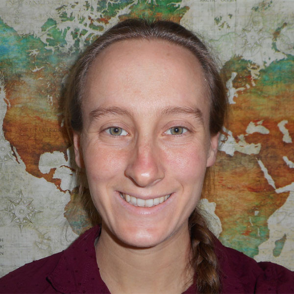
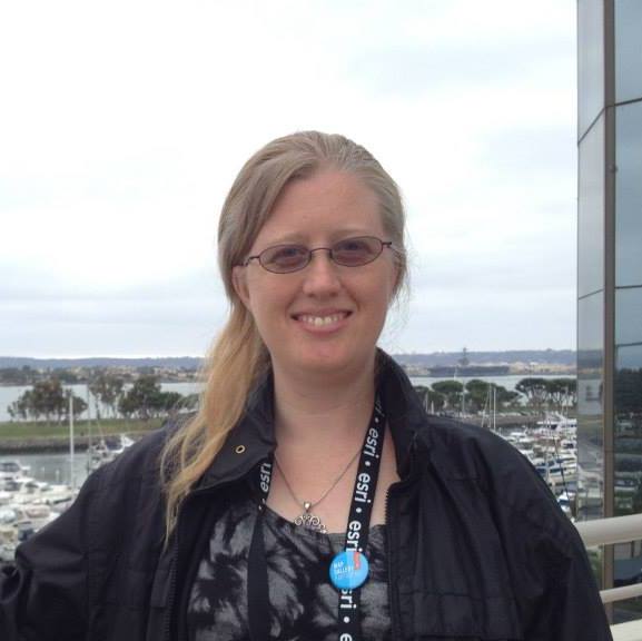
Julia Rose Dowell, Senior Campaign Organizer at Sierra Club

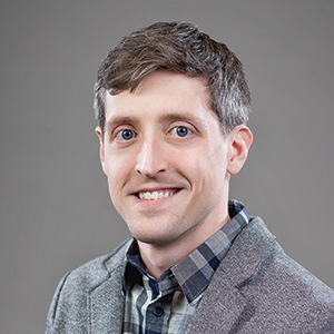
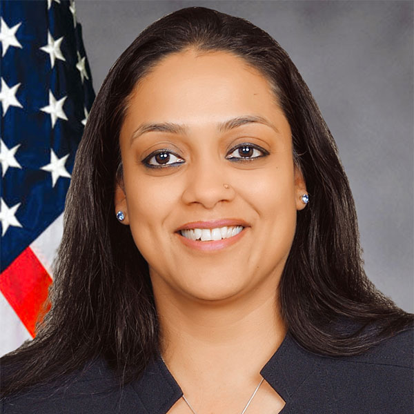
Victor Gregor Limon, Sustainability Data Analyst, Office of Climate Change, Sustainability, and Resiliency, City and County of Honolulu
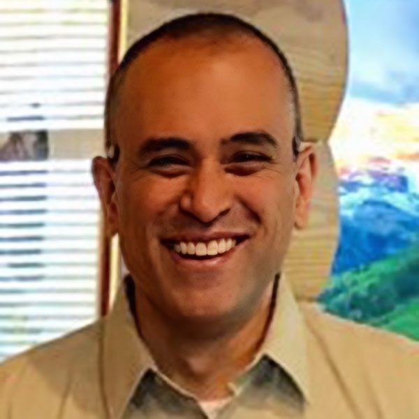
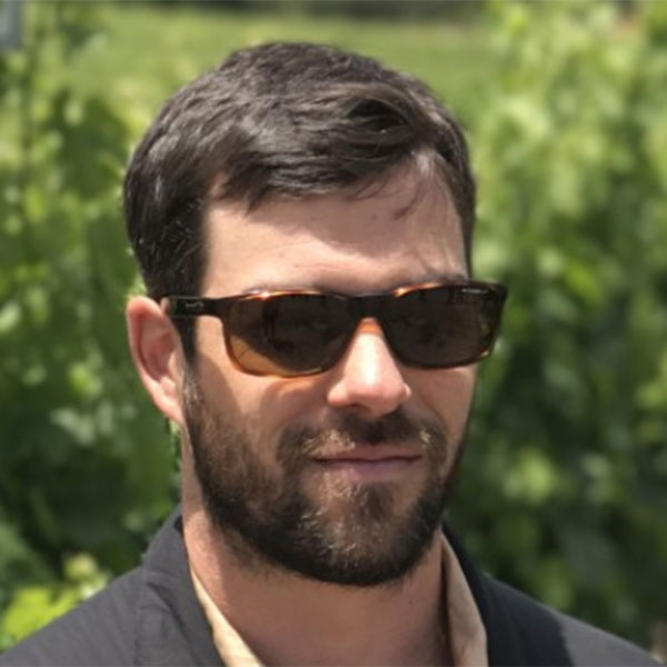
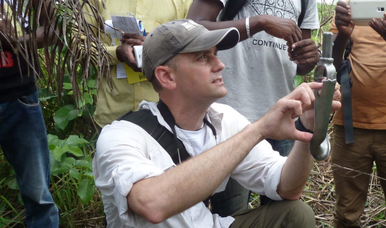
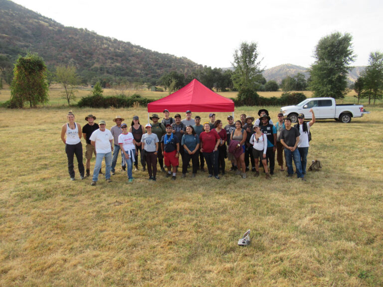
Arvind Bhuta, Natural Resources Specialist, United States Department of Agriculture Forest Service, State, Private, and Tribal Forestry
The Stats
Occupations in geography by the numbers
There are hundreds of occupations that require knowledge of and skills in geography, and the diversity of career opportunities available to geography graduates continues to grow every year. According to the Bureau of Labor Statistics, median wages for geographers were $81,970 in 2019. Even the lowest paid 25% of Geographers made $63,300 annually, far exceeding the median wages for all income earners.
The interactive bar chart below highlights just a handful of geography-related occupations with high-growth potential through the foreseeable future. Select items within the legend to simplify the data for comparison.
*Source: Bureau of Labor Statistics. Employment figures are for 2018; projected growth is for the period 2018-2028; median wages are for 2019
- Employment
- Projected Growth
- Median Wages
Geospatial Information Scientists and Technologists:
Geosphysical Data Technicians:
Geographic Information Systems Technicians:
Cartographers and Photogrammetrists:
Remote Sensing Technicians:
Precision Agriculture Technicians:
Urban and Regional Planners:
Transportation Planners:
Environmental Scientists and Specialists:
Environmental Restoration Planners:
Atmospheric and Space Scientists:
Soil and Plant Scientists:
Climate Change Analysts:

Find a Mentor
AAG career and research mentors
AAG members proposed the need for a mentoring program in a time when students and colleagues may have limited access to previous peer and professional contacts and mentors, while also facing new challenges to their education, research, and career. In response, the AAG is working to bring together career geographers and researchers volunteering their expertise with students, post-docs, or early career professionals seeking guidance for their careers and/or research.
While this program is in response to the pandemic and the related disruption of activities, the availability of volunteer mentors also helps to serve any students and early career geographers with limited access to geography mentors and professional support.
Join to get access to our complete list of mentors: Become a Member
At AAG we are aware that the future will be in your hands, and we want to ensure that the next generation is prepared to care for the world and pay it forward. Find out how you can make a big difference with your career today.
Want to find talented geographers? Post a Job
Upcoming Events
Geography’s biggest get-togethers
-
Sep
26 -
Sep 30
–
Oct 3 -
Oct
16-18
Want to learn more about upcoming events? View More
Ask a Geographer
Reaching out yields answers
Ask a Geographer is an AAG outreach project that offers the media, government agencies, teachers, and students links to experts in various fields of geography. The experts are drawn from and categorized according to the AAG Specialty Groups and may be contacted directly, using the information provided. They will respond to specific inquiries about geographic topics and issues in their areas of expertise. The outreach project was developed by Richard Marston (Kansas State University) and is maintained by the AAG.

The AAG continues to update the Ask a Geographer program, gathering new additional voices in the discipline for page visitors to contact. Interested in volunteering? Volunteers should be current AAG members and we welcome individuals at all career level stages, from early career (you too, grad students!) to retirees. If you’d like to participate, please fill out this online interest form. If you have questions about the program, contact the AAG at careers@aag.org.
Ask a GeographerReal-World examples
Profiles of geography programs
Learn more about geography programs from these colleges and universities. In these profiles, professors talk about the unique aspects of their programs and what their students learn from the classes and other offerings.
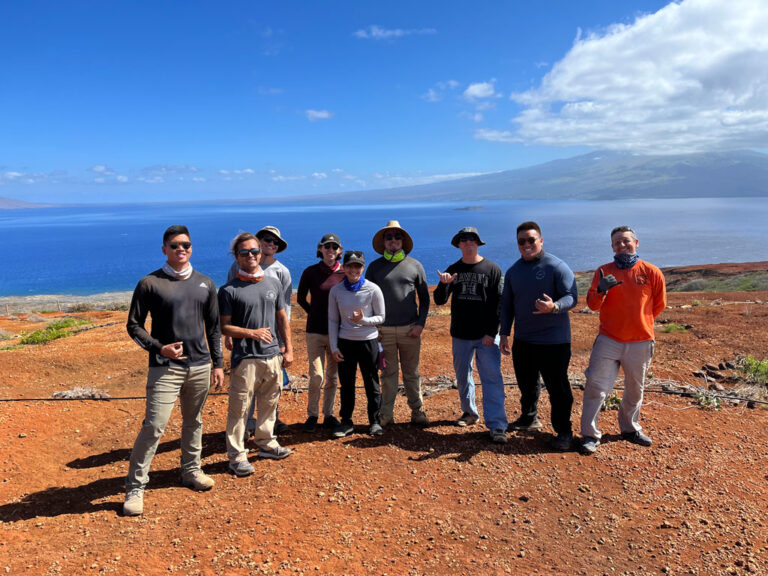
Program Profile: University of Hawaiʻi, Mānoa
Program Profile: California State University Long Beach
Program Profile: Lakeland Community College’s Geography and Geospatial Technology Program
Open Access Course
Jobs, Careers, and Professional Development in Geography
Undergraduate and graduate students interested in exploring and preparing for a career in geography will benefit from this open-access course. Students will identify career interests, research and investigate their discoveries, and prepare job materials and professional documents based on their findings. The course is available at no cost to AAG members and their students.
Learn moreVideos on Careers in Geography
Finding your way to a geography career
The videos provide an overview of how geography can lead to a meaningful, fulfilling career, as well as the diverse, often unexpected pathways that lead people to our field.
A Day in the Life of a Geographer
Joseph Kerski discusses what it’s like to be a geographer and why it matters. 04m:35s.
Geographers Making a Difference
Geography is a broad and diverse field, but one thing geographers have in common is using a geographic perspective to have an impact on the world. 04m:24s.
Advice on Jobs in Geography
Start building your career. Listen to some sage advice about jobs in Geography: from defining what you can contribute to any position to doing the geography you feel passionate about. 03m:47s.
Nekya’s Story
Geographer Nekya Young tells about her journey to find a college major that would ultimately lead to a meaningful career working with communities, recounting the many opportunities and support she found along the way. 07m:24s.
Journeys into Geography
Many people find the field of geography through various pathways. This video shares stories of students, recent graduates, and seasoned geographers to illustrate some of the diverse ways that they have found their own journeys into geography. 12m:21s.
Creating a Departmental Home
AAG research shows that departmental climate is very important for the success of minority and international students. In this video, geographers of color and geographers of international backgrounds speak about their programs and what home means to them. 05m:46s.
ADVANCING THE DISCIPLINE
Healthy Departments Initiative
The work of the Healthy Departments committee provides coherent and engaged guidance and action that enhances the future health and excellence of academic geography departments across the country.
Learn more
START YOUR CAREER
You’re ready to make a difference—we’re here to help
Choosing the right academic program is oftentimes the most important step in starting your career. Explore our program guide to understand the different academic opportunities and how they align with your goals.
Get your GIS Certification and grow your career
The GIS (Geospatial Information Systems) Certification is an increasingly valuable designation conferred to data scientists in the field of geography, and helps policymakers, community members, and researchers, to find highly qualified candidates.
Open Access Course: Jobs, Careers, and Professional Development in Geography
Explore careers in geography—download the brochure
Advertisements