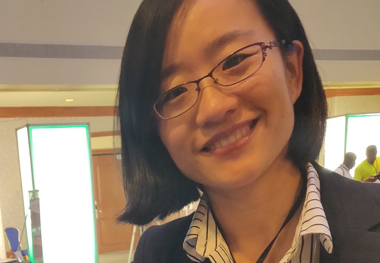
Xiaohui Liu
Postdoctoral Intramural Research Training Awardee, National Institutes of Health

Website: https://xiaohuiliu.com/
Education: Ph.D. in Geography (University of Southern Mississippi), M.S. in Geology (Bowling Green State University), B.S. in GIS (Shandong University of Architecture and Engineering, China)
Describe your job. What are some of the most important tasks or duties for which you are responsible?
My job as a geospatial analyst and health disparity researcher aims to identify geographical/environmental factors leading to health disparities, and novel ways to characterize and explain them. Health disparities exist as a result of multiple social, environmental, geopolitical, and economic factors, so a geographical or spatial perspective is indispensable in examining, analyzing, and addressing these disparities.
My routine tasks include proposing research questions, designing research methods, identifying datasets (both spatial and aspatial), conducting analysis, and preparing research manuscripts. My research questions are mostly developed based on identified research gaps and my curiosity about where health disparities exist, among which populations, how they change over time, as well as the potential reasons that cause these disparities. Given the complexity of these questions, integrating and analyzing data from multiple sources is always necessary. For instance, spatial data, survey data, census data, social media data, and biomarker data are often used to support my research.
What attracted you to this career path?
Geography became my favorite subject in middle school. Being the student with the most geographic knowledge in my class helped me build great confidence, which eventually led me to explore a career in geography. After choosing GIS as my undergraduate major, my determination to choose a career as a geographer was enhanced by the joy of creating knowledge from data. Ever since then, I have been consecutively involved in multiple projects funded by U.S. Department of Homeland Security, U.S. National Science Foundation, and Canadian Institutes of Health Research to apply my geospatial knowledge and skills to analyze, model, and visualize problems resulting from the interaction of social and physical environments.
How has your education/background in geography prepared you for this position?
My training in geography has helped me to identify research topics with spatial components and provided me with the skills to conduct research independently. I have also become proficient in performing desktop geospatial analysis, building web-based applications, and developed a self-motivation to keep learning new skills. I believe that all the learning and training experiences have improved my competency in the job market.
What geographic skills and information do you use most often in your work? What general skills and information do you use most often?
Spatial thinking is the core of my geographic skills. On top of that, I am always ready to learn and adopt new approaches, i.e., spatial data science practices, which have helped me to work more efficiently. I use oral and written communication skills daily. I also appreciate teamwork and being able to learn from others.
Are there any skills or information you need for your work that you did not obtain through your academic training? If so, how/where did you obtain them?
Yes; the skills I learned at school have only provided me with a foundation, while those I learned and developed through my work have been key in helping me thrive. I actively seek information from all sorts of platforms to help me understand research trends and position my research focus, i.e., signing up for National Science Academy professional training workshops and subscribing to the latest research publication mailing lists. At the same time, I have sought out additional opportunities for learning new technical skills, including learning on Coursera, Data Camp, Data Incubator, among other platforms, to keep up with the latest geospatial science technologies and tools. I also signed up for all the workshops that were relevant to my research at AAG annual meetings when I was able to attend them.
Do you participate in hiring, screening, or training of new employees? If so, what qualities and/or skills do you look for?
Yes. Being involved in screening and training of new employees has helped me realize that a clear vision of career development and self-awareness of personal strengths and weaknesses can often make candidates stand out. A solid domain knowledge, technical proficiency, and experience are equally important qualifications.
What advice would you give to someone interested in a job like yours?
My advice for geographers who are interested in being a geospatial analyst/researcher in an interdisciplinary field is to follow your own passion and always balance your expertise and passion when making career choices. It’s likely that the first few jobs may not be ideal for many people, so being able to follow your heart when making career changes is very important. Be flexible and always be willing to learn — this is extremely important in interdisciplinary work.
What is the occupational outlook for career opportunities in your field/organization, esp. for geographers?
I’m very positive about the career opportunities for positions like geospatial analysts in government organizations like the NIH. Given the fact that a lot of social and environmental issues have spatial components, implementation of geospatial solutions could greatly help address these issues. In the era of fourth industry revolution, we also have more spatial data, and more powerful, mobile, and easy-to-use tools to identify new spatial knowledge and solve problems. With that said, we need a workforce willing to roll up their sleeves to make the world a more sustainable and harmonious place.