Pete Chirico
Research Geographer & Associate Director of the Eastern Geology and Paleoclimate Science Center at U.S. Geological Survey
Education: Current Ph.D. Student in Geography & Environmental Systems (University of Maryland Baltimore County), M.A. in Geography (University of South Carolina), B.A. in Geography (Mary Washington College)
Describe your job. What are some of the most important tasks or duties for which you are responsible?
My time is currently split between scientific research and management duties at the Science Center at USGS. My research focuses on diamond and mineral resources illegally mined in conflict zones. I focus on the geomorphology of resource deposits using remote sensing and field mapping techniques, and combine this with knowledge of local communities engaging in mining and how these factors contribute to funding conflicts. I also serve as associate director for the Science Center, working with about 60 geologists, paleontologists, and physical scientists. My duties in this position include project planning, personnel management, and representation of our science center to stakeholders and the public.
What attracted you to this industry?
After completing my master’s degree in 1995, I saw an ad for a GIS specialist at USGS. I was attracted by its reputation as the nation’s premier civilian mapping agency, and its role as an early adopter and leader in GIS and mapping technology. I initially thought I’d work here temporarily as a stepping stone to other pursuits, but soon recognized the depth and value of USGS science. I have been afforded numerous opportunities to grow here as a geographer, and have been with USGS for over 20 years now.
How has your background in geography prepared you for this position?
My coursework in GIS gave me the skillset to work as a GIS specialist, and I have been able to apply my general knowledge of geography to critical problem solving. But, since the geospatial field is rapidly advancing, it has been important to continually be developing new technical skills and to be willing to learn about subject areas well outside of my initial scope of coursework and studies.
What geographic skills and information do you use most often in your work? What general skills and information do you use most often in your work?
I often use GIS and remote sensing methods in collecting geographic information, and also extract data from reports, maps, and articles, oftentimes only found in a library or archival collection. Some of the skills I use in field work include sediment sampling, field mapping, and qualitiative/semi-quantitative interviews.
Some of the general skills that I use include statistical and mathematical modeling techniques, as well as using maps, graphs, and figures in illustrating abstract concepts. Communicating the results of your research effectively involves writing journal articles and reports, with graphical tools and an element of storytelling to effectively convey information to technical and non-technical audiences.
Are there any skills or information you need for your work that you did not obtain through your academic training? If so, how/where did you obtain them?
Many of the technical tasks I perform today I’ve learned from watching and working with colleagues. During my career at USGS I’ve been very fortunate to have worked with scientists and experts in many different fields, and I have come to appreciate the importance of being able to develop and maintain positive working relationships with colleagues and co-workers.
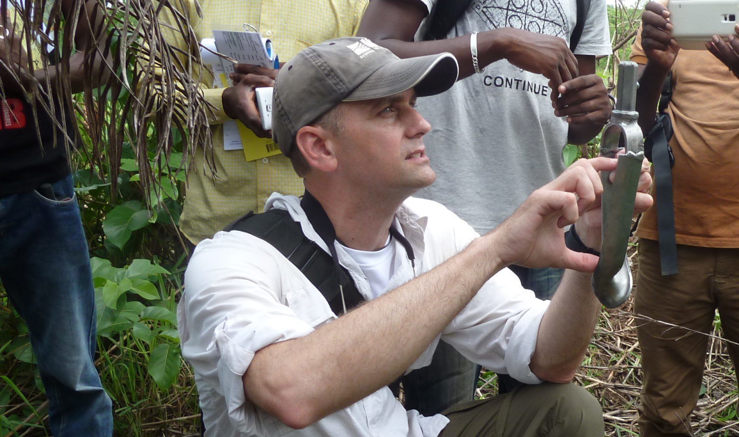
I currently conduct fieldwork in Central and Western Africa. I’ve learned so much about conducting fieldwork in remote areas and conflict zones “on the job” through mentorship from experienced field geologists early in my career. There are some safety courses and certifications that help prepare you for some things you might encounter, but time and experience help you to develop confidence in your own abilities while in tough field conditions.
Do you participate in hiring, screening, or training of new employees? If so, what qualities and/or skills do you look for?
Yes. We look for a certain level of technical geospatial competency demonstrated through successful coursework and experience. More often, however, I seek candidates with a balance of technical skills and a background in physical geography. I also look for strong attention to detail, research ability, writing and presentation experience, cartography and data representation capability, and foreign language proficiency. It may be difficult to quantify, but perhaps most important for a successful candidate is their desire to learn and engage in tasks with enthusiasm.
What advice would you give to someone interested in a job like yours?
No job is perfect, but learning to seize opportunities that are “the right job at the right time” will provide great experiences and personal contacts that can last a lifetime. I think in many ways you create your own opportunities for achievement and advancement through hard work, continuous learning and growing, and trying new things with your organization.
I encourage others to think creatively about gaining experience. For example, I didn’t have the financial resources to study abroad in college and came to USGS with no international travel experience. However, while I was in school I was able to work as a field assistant to a biologist and spent a couple of summers working as a wildfire-fighter for the U.S. Forest Service. So, those jobs gave me valuable field work skills to build upon when other opportunities, including those for foreign travel, came around.
I encourage job seekers to perfect their writing and presentation skills, as these are valuable for any job. Develop a portfolio with projects, writing samples, maps, and examples of fieldwork–this is a great compliment to your resume in showing your potential employer your skills and development over time.
Many professional vacancies may not be specifically looking for geography majors; therefore, it’s important to sell ourselves as geographers. Being able to explain to others how the coursework, experience, and skills that geographers possess fit a job description, and being able to communicate that to a non-specialist hiring manager is really important.
What is the occupational outlook for career opportunities in your field/organization, esp. for geographers?
Good question! This is a dynamic and uncertain time for geographers and other research scientists in government agencies. Permanent job opportunities are less common and much more competitive now than they have been in the past, but there are still many opportunities. Term or temporary positions, student trainee positions, and seasonal field assistants are often the best way to get a foot in the door.. Many government agencies, such as USGS, will face large numbers of retirements in coming years, and while agencies continue to downsize, they will need to hire to maintain their workforce and continue their agency’s mission—and often look to those who have worked in student or temporary positions to fill openings. I think that the scope of geography as a field that encompasses both geospatial technology as well as subject matter expertise, such as in physical geography and field methods, places geographers in a unique position as adaptable and flexible individuals well suited to the rapidly changing workforce requirements in federal agencies.