The Geography of Wildfire
 Geography in the News is an educational series offered by the American Association of Geographers for teachers and students in all subjects. We include vocabulary, discussion, and assignment ideas at the end of each article.
By Emily Frisan
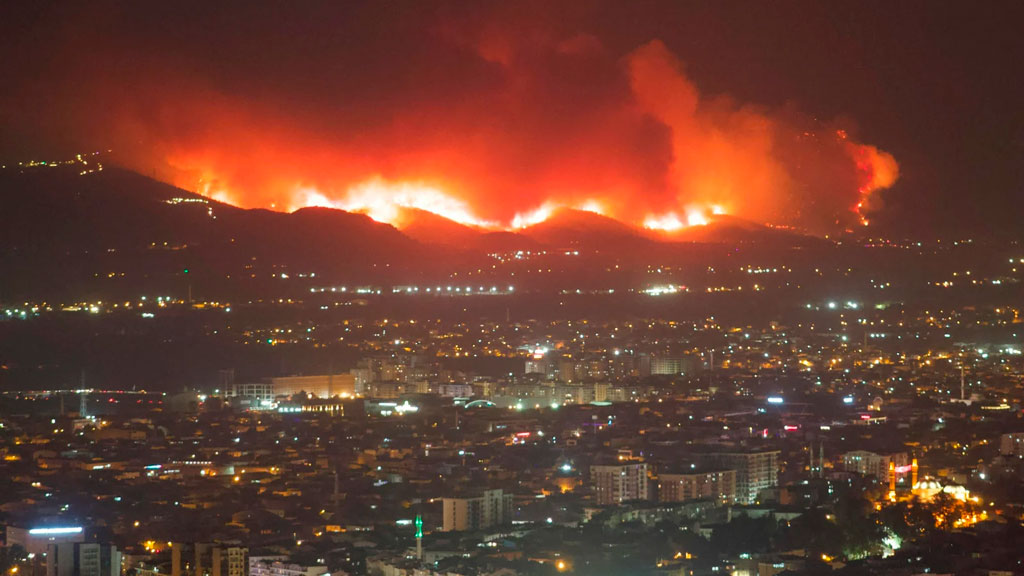
A simple spark of embers can result in a raging fire. Wildfires are uncontrolled fires that burn natural vegetation. They can happen in any landscape: forests, grasslands, shrublands, wetlands, and even urban areas. In the United States, 77,850 wildfires were reported in 2025, compared to 67,897 wildfires reported in 2024. This resulted in 5,131,474 acres consumed. That’s more than twice the size of Yellowstone National Park.
Since the mid-1980s, some forests in the Western United States have been experiencing changing fire regimes. A fire regime is the pattern, rate, and strength of wildfires that normally occur in an area.
Countries worldwide are experiencing longer fire seasons and more destructive wildfires. These fires and changes can cause controversy between land managers, policy makers, and the public. As wildfire numbers and intensities grow, efforts are put to the test.
Studying How a Fire Grows
The study of wildfire geography pulls from physical geography, climate science, ecology, and human geography. The study helps explain one of the largest environmental challenges worldwide.
Several geographic factors influence how wildfires develop. One of the most important is vegetation as fuel. This can include dry grasses, shrubs, fallen branches, and crowded forests. A large collection of vegetation often has greater fire potential. This grows stronger during a drought.
Weather can also encourage fire growth. Hot temperatures, low humidity, and strong winds can carry embers for long distances. Topography, or the shape of the land, also impacts fire behavior. Steep slopes often experience faster and more intense fire activity than flat terrain. Fires tend to move uphill quickly because heat rises and preheats vegetation in front of the flames.
Human activity is another factor. Logging and agriculture can remove natural windbreaks and promote the growth of flammable grasses. Even some tree removal to prevent fires can have the opposite effect. Without the natural defensive border, fires can spread into neighboring rural, agricultural, or natural lands.
Fallen power lines, campfires, and other careless activities can spark a series of impacts. This includes outdated management plans and wildfire suppression techniques. Wildfire response tactics are designed to end the spread of fire and remove all identified threats.
Managing the Known
Land managers working in fire science on public lands have a difficult task. While they aim to manage human infrastructure and the costs of wildfires, they also maintain appropriate fire regimes for local ecology.
One strategy is a prescribed burn. Specific areas are set on fire at regular patterns under certain weather conditions. Burning the areas before too much fuel has built up results in easily managed fires. Dead vegetation is cleared, nutrients go back to the soil, and habitats diversify. Indigenous groups within the United States have carried out prescribed and cultural burns for centuries.
Use this map from National Geographic to find out where wildfires and prescribed fires are currently burning in the United States.
Modern technology has become a major tool to manage wildfires. For example, Geographic Information Systems (GIS) can map where fires happen and find patterns. Tracking fire locations and conditions allows geographers to understand how fires spread. Other resources include weather and vegetation data, fire records, and satellite imagery. Emergency responders use maps to send out evacuation orders and protect communities in need.
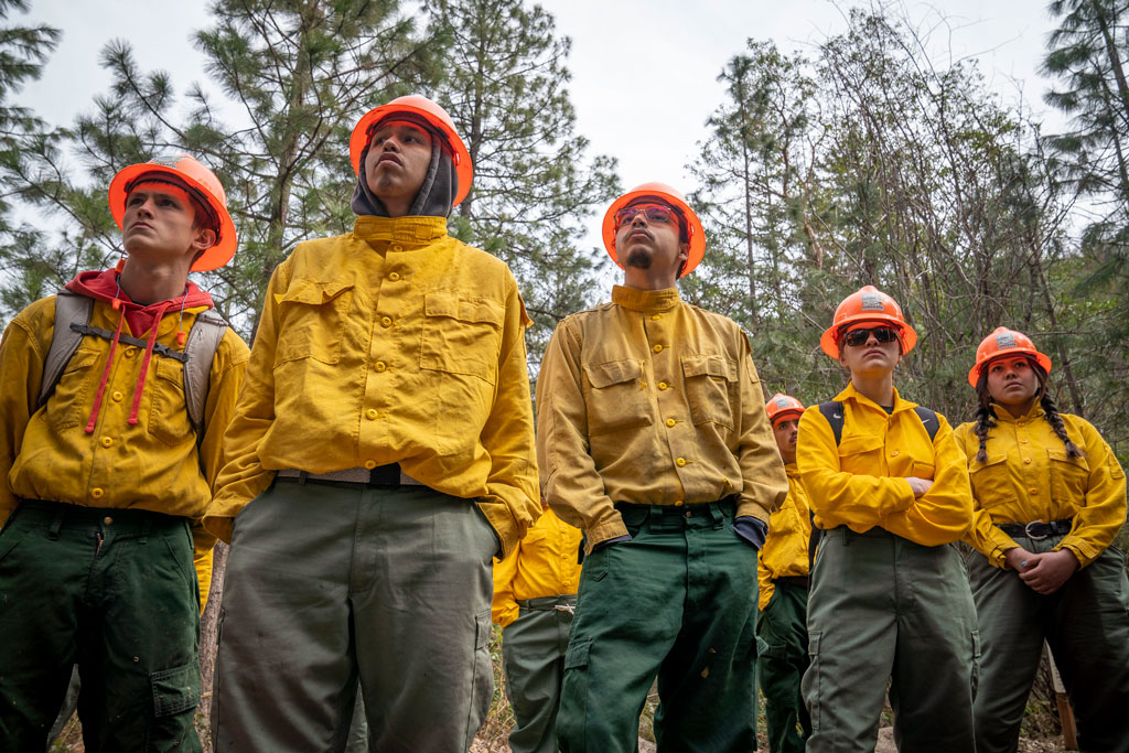
The western United States, states like California, Oregon, Colorado, Montana, and Washington, face large numbers of wildfires. Dry summers, landscapes managed by humans, and drought create larger fuel loads. This can contribute to more intense fires when ignited.
Wildfires are not limited to North America. Australia, Greece, Spain, France, Brazil, and many other countries also face challenges. Relationships among climate, vegetation, and human activity make each location unique.
Efforts to battle wildfires have not settled. The U.S. Forest Service and other agencies are studying fire ecology more intently. The best fire regimes to fit different communities and changing climates are always in search of. Figuring out the amount, timing, and intensity for each solution is essential for healthy and strong ecosystems.
And that is Geography in the News, updated September 5, 2026.
Material in this article comes from “Wildfire and Droughts” (2011), an original article for Geography in the News by Neal Lineback, Appalachian State University.
AAG’s Geography in the News is inspired by the series of the same name founded by Neal Lineback, professor and the chair of Appalachian State University’s Department of Geography and Planning. For nearly 30 years from 1986 to 2013, GITN delivered timely explainer articles to educators and students, relevant to topics in the news. Many of these were published on Maps.com’s educational platforms and in National Geographic’s blogs. AAG is pleased to carry on the series.
Sources Consulted for this Article
National Geographic. Wildfire Incidents and Perimeters in the United States.
National Interagency Coordination Center (2025). Wildland Fire Summary and Statistics Annual Report.
National Park Service (2017). Wildland Fire Behavior.
National Park Service (2025). Wildland Firefighting Tactics.
U.S. Department of Agriculture, Forest Service (2021). Tribal and Indigenous Fire Tradition.
Glossary
- Cultural burn: Lower-intensity, controlled fires set by Tribes as an essential part of culture to cultivate materials and food essential to centuries-long traditions.
- Domino effect: A chain reaction where a single event triggers a sequence of similar or connected events.
- Ecology: The study of how living organisms interact with each other and with their physical environment.
- Fire ecology: The study of wildland fire and its impact on the environment.
- Fire season: The specific time of year when weather and dry conditions make wildland fires likely to ignite, spread, and burn out of control
- Land use practices: Specific methods, activities, and management actions that humans apply to land to produce economic, social, or cultural benefits
- Prescribed burns: A planned, controlled burn set intentionally by experts.
- Satellite imagery: Photographs and digital data of Earth captured from the sky or space.
- Vegetation: All natural plant life and ground cover.
- Wildfire suppression: Emergency tactics and operations used to contain, control, or extinguish an active wildfire.
Questions for Discussion and Further Study
- What are the main geographic factors that create wildfires? How does this impact states in the western United States more than the East Coast?
- How does satellite imagery show information about fire patterns?
For further study outside of this article: What kind of other tools and techniques do geographers and Earth scientists use to measure and track fires?
- What actions can governments, companies, and individuals do to reduce human-ignited wildfires?
For further study outside of this article: What other techniques not mentioned are used to control wildfires?