For the last President’s Column of his term, President Bill Moseley talks with incoming President Sara Smith about her experiences within the discipline and her aspirations for her upcoming leadership at AAG. The following conversation offers insight into the new directions for the 2026-27 presidency. View the interview
Bill: Sara, thank you for being here. My first question is, what’s your history with geography? What brought you to the discipline?
Sara: Like so many of us, I ended up in geography completely on accident! I was doing counter development work for a women’s organization in Ladakh, in northern India. And I actually just needed to spend more time in my hometown with my family. I also was frustrated with the kinds of obstacles we were running into. My husband and I were both working in the NGO field in Ladakh. And I found myself wanting a more global context for that work, or I wanted to understand the structural forces we were dealing with better.
And so, I looked up grad schools in my hometown, Tucson, Arizona. And the Department of Geography and Regional Development at the University of Arizona was the first thing that came up, so I went there. That’s how I came to geography,
But I stayed because of the people that I met, and especially, I started taking classes from my advisor, Sally Marston, in political geography, and political geography just really spoke to me, as a way to understand the world.
Bill: I think so many geographers come into the discipline sideways.
Sara: Exactly. I think that’s why your [Gen Alpha] task force [addressing the next generation of geographers] is good. What if people came in earlier and intentionally?
Bill: Yes. But I also think it’s a good thing that this discipline is open to people coming to it in many different ways. So, I’m curious, what do you tell your students, or what do you tell people who are interested in the discipline—what, for you, makes it so relevant to the issues of the day?
Sara: Hmm…I have two answers. One is, I think, a classic geography answer, which is that we range from the environmental sciences to the social sciences and humanities, and I think that’s really beautiful. The expansiveness of the discipline is exciting to me, but I think in classes, what is exciting for students is the kind of liberties we take with geography. It’s a very fluid discipline.
If we look across the social sciences…I feel like geographers have really picked up, for instance, Black theory, Indigenous theory, and centered it in their work, which I think is unusual for the social sciences. I think sometimes those kinds of theoretical frameworks are still on the margins. In geography, they’re some of the quickest growing sub-disciplines.
I’ve been teaching environmental justice classes, and I think the students find that approach really exciting. Thinking through Indigenous theories of land relations, or thinking about racial capitalism as something that has structured why we’re facing environmental justice questions—those approaches are very accessible in geography and intuitive to students, too. I think there’s a way, when you start with place, it can feel very welcoming, and students can start thinking through the connections. Like in one of my classes, they map their hometown—an assignment Danielle Purifoy inspired me to try. They haven’t thought about their hometown in relation to environmental justice before. What if they map out the hazards and the neighborhoods? It makes it feel very relevant to them, so I think once students get that kind of welcome into geography, they find it really exciting, and just naturally relevant.
Bill: I believe a lot of our members might be wondering: Who is Sara Smith, and what kind of research does she do? Could you describe briefly the kind of research you do?
Sara: I feel coherent, but I think my research agenda might seem a little incoherent to some folks. Broadly, I study the relations between our intimate, everyday lives and territory. So, my first project about that was set in Ladakh, and it became a book project, Intimate Geopolitics.
In that work, I’m looking at Ladakh’s location on a contested border with Pakistan and China, and the colonial history of that region. I looked at the ways that territory affects people’s decisions about who they’re going to marry, how many kids they want to have, these kinds of intimate decisions. How does intimate life become understood to be making territory? People were telling me Buddhists and Muslims can’t marry each other because it’s a political problem. But a couple generations ago, they were marrying each other all the time. So, what are the conditions that made that impossible? I started with that, but then that work has kind of broadened out, so then I worked with Mabel Denzin Gergan, with Himalayan college students. What’s it like to be from a tiny town in the Himalayas and go to some of the biggest, most diverse cities in the world, like Delhi or Mumbai? How does that change how you think about your hometown back in the mountains? How does that change you politically? So both of those are about this relationship between: Our ordinary lives, how we relate to our parents or our friends at college, and the state.
That’s the basis for my research, but I really wanted to do work closer to home. So, I also started doing work on time and temporality and fascism, and just trying to understand our political scenario, and I also just love political geography, so I wrote a critical introduction to Political Geography. And then more recently, I felt…I started to get frustrated that my research was all on the other side of the world, and we’re here in North Carolina. And I had learned a lot from student organizers. Our campus is very caught up in the afterlives of slavery and Indigenous dispossession. For example, in the time I’ve been here, our building name was changed. It used to be named for a KKK leader. It was student activism that got that name off the building, and we also had a Confederate monument, students pulled it down, the administration thought about putting it back up. Students’ thinking and activism led me to this new work and taught me so much about place and power.
All these things made me feel that I need to be more locally engaged, so I started a project for our students to study the history of the university. So that’s the Land Back Abolition Project that I co-founded with Danielle Purifoy.
Bill: I love hearing how people’s research evolves over time.
Sara: Yeah, so it’s many different things, but they feel like one thing to me.
Bill: I’m wondering if you could just say a little bit about what prompted you to run for AAG president.
Sara: I was so surprised when I got the email saying I had been nominated to be vice president, I’m sure many people feel the same way. So, I was surprised, and I’m actually shy, and I don’t like to be at the front of the room with a bunch of people looking at me. So, I started calling my friends saying, “I should say no, right? I should just… I shouldn’t agree to be nominated,” but they all said, what are you talking about? You have to say yes. And I think it’s funny, because I’m shy, but I really like to build things. I like to build collectives, so ever since I started this job, I started kind of building networks of people, working toward shared goals, and I really enjoy that kind of work.
When I thought about it in that perspective, I just like to get involved in whatever organization I’m part of. So that’s what made me say yes.
Also … I just… I like to work. I like to work hard for things that feel right to me, so this felt like a different way to practice that.
Bill: Okay. Well, relatedly, what are you hoping to focus on during your tenure as the AAG President? Your priorities.
Sara: I’m thinking about a couple things. So, of course, I have a task force, which is at the heart of my work. The task force is called Grounded Relations and Repair, and it’s a little bit like a scaled-up version of our Land Back Abolition Project.
I want us to be thinking about our ethical relationships to place as geographers. So, when I started my job here at UNC, like I told you, I was thinking about political geography as something that’s out there somewhere. I wasn’t thinking about…what building is my classroom in? Who built this building? Has the university you know, repaired its history of bad relations with Black and Indigenous people? I wasn’t thinking about the really local politics, so the idea with the task force is for us to be thinking about our ethical relationships to the institutions we’re embedded in.
What are our universities’ relation to the community, or if we’re working in industry, what’s our organization’s or our companies’? What are their relationships to the local community, to the people who built the buildings, to the land that we’re on, or to other workers also, I’m thinking about it through labor questions.
So, what’s our faculty’s relationship to labor at our institution? Who labors at our institution? Can they live in our town, or do they have to live really far out and commute in? What are kind of the structural relations that we’re embedded in?
We shouldn’t be able to get a geography degree without knowing whose land we’re on.
I think these questions are also key to the work that AAG members have been doing to encourage us to engage more with Palestinian liberation – they are asking us to take our ethical relationship to the world seriously and it’s important for us to rise to that calling.
And I like that orientation for geography, because I think we shouldn’t be able to get a geography degree without knowing whose land we’re on.
How did this institution come to be? It’s a fundamentally place-based question.
I also like this work because it’s so fruitful in the classroom. In the task force, we’re thinking of developing a national toolkit, so that folks could do this kind of work at their university. I love teaching this way in the classroom. In several of my classes, students have to study the history of the institution. And I tell them they’re rehearsing for the rest of their life.
Next time they get a job, next time they go on to graduate school, they should be asking the same questions of that institution. I’m hoping it’s helping people… build a different kind of ethical relationship to the communities that they’re in, where they feel it’s on them to learn about their relationship to one another and to place. I want to focus on that, and then I also think about AAG’s accessibility.…As we’ve learned in Council, it’s quite difficult to make changes (for instance, on affordability). But as someone who grew up with a single mom who was worried about money, and just…I still always am thinking about money, so I’d love for AAG to be more accessible to folks and think about things like who is and isn’t included in different ways, I think that’s really important to me. AAG is doing a lot of work in that regard. And then I think the last thing is just that…It’s rough out there right now. I think we’re so worried just about the state of the discipline, the state of the academy, we’re worried about funding cuts, we’re worried about the national scenario. Worried about fascism and free speech. It’s a really good time for us to be trying to support each other. And think about what we can do as a community. Fundamentally, we’re a community, and it’s not so easy to be in a national community of nearly 10,000 people. That’s actually really rare and special, so it’s an opportunity for us to make that community stronger. And use it to protect one another, and support one another in a time that feels, I think, really scary. For a lot of folks.
Bill: You are entering this position at a really challenging moment.
Sara: It’s not, yeah, it’s not, like, smooth sailing for anyone, and everybody’s challenges are so different, depending on the kind of institution, or, the stage of your career,
Bill: Yeah. Well, like you said, we are a community, and communities need volunteers to step up and play certain roles. The AAG basically runs on volunteers, and I guess I’m curious if you have any advice for someone who might be a member considering volunteering in a certain capacity for the AAG.
Sara: I think it’s a great experience. I’ve been encouraging my students to do more. It’s nice to find and make that kind of community. I believe it was at this annual meeting that I was suggesting—I think you and I were on the Student Day panel it’s great to run for specialty group, student representative positions, or otherwise get involved in those smaller ways; or even to do things like organize a session at AAG. And I think a lot of folks throw in their abstract, or they apply for a session, but they don’t think, what if I just, tried to reach out to 5 or 10 people who I look up to and ask them to talk about a topic? It’s great to just try to jump all the way in, and people will be surprised at how welcoming folks are to that kind of engagement.
Bill: Is there anything else you would like to add that we haven’t talked about?
Sara: Yes, what about… do you have advice for me? As outgoing president.
Bill: I think you know this, because we’ve been serving together for the past year. You go into the job wanting to focus on certain things, and you don’t always control the agenda, right? And so, being very flexible and responsive to the concerns of the membership, as well as the particular political moment you find yourself in, is important. In sum, roll with the punches.
Sara: That’s good advice.
Bill: Well, thank you so much, Sara. It’s been a total delight speaking with you. I’m looking forward to continue serving alongside you in the upcoming year, and I really wish you all the best in your new position.
Sara: Thank you, I will need it!.
Please note: The ideas expressed in the AAG President’s column are not necessarily the views of the AAG as a whole. This column is traditionally a space in which the president may talk about their views or focus during their tenure as president of AAG, or spotlight their areas of professional work. Please feel free to email the president directly at moseley@macalester.edu to enable a constructive discussion.
 Over a distinguished career spanning more than five decades, B. L. Turner II has fundamentally shaped our understanding of human-environmental interactions, land systems, sustainability, and socio-environmental vulnerability. Drawing on rigorous field-based and quantitative and mixed method approaches, his pioneering work on land change/systems, sustainability, and coupled human-natural systems helped to solve various research problems and created intellectual pathways that continue to guide research across multiple disciplines and space-time scales.
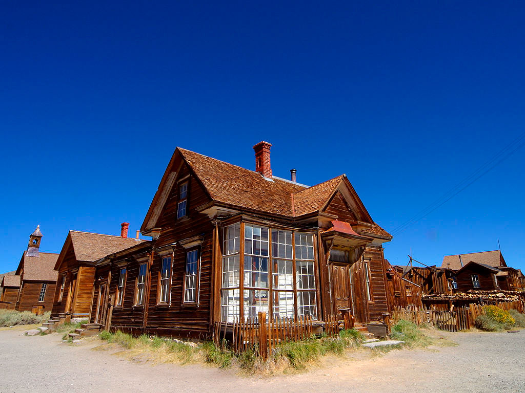
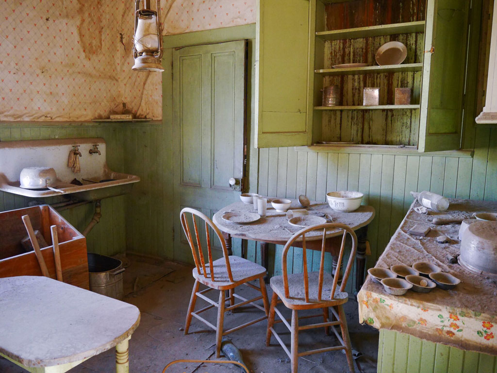
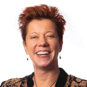 “Figuring out what places are about” is the foundation of Dydia DeLyser’s inquisitive, hands-on work to explore and preserve American landscapes and cultural histories. A professor of geography emerita at Cal State Fullerton, DeLyser has cultivated this outlook from early on. As the child of Dutch immigrants who came to the U.S. in the 1960s, she learned early how place, belonging, and language could open—or close—doors.