What Can Geographers Do?
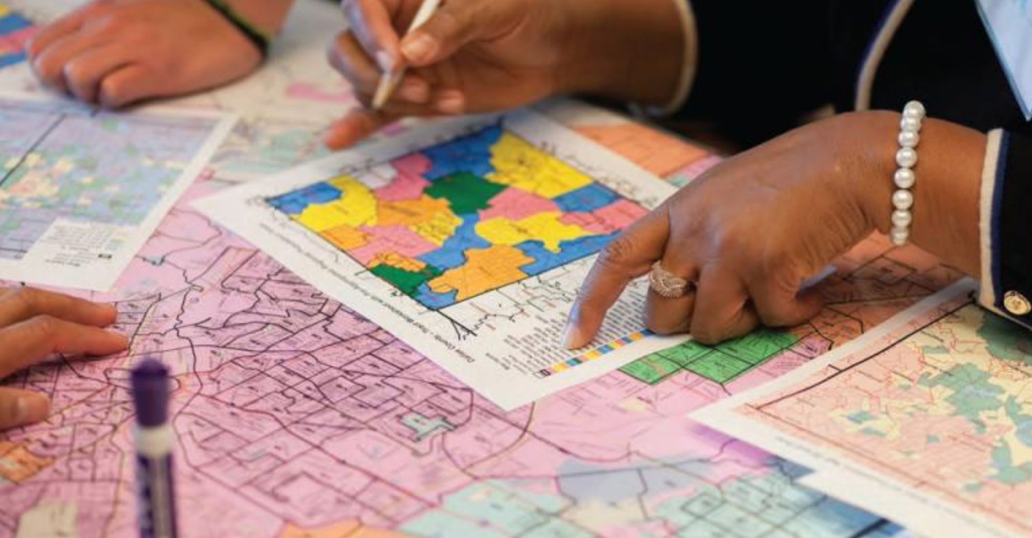
States alone have the power to redraw congressional and state districts once every 10 years using decennial census data. This undertaking is inherently geographic, and yet geographers are sorely lacking from the process at every level. When it comes to the fight for fair redistricting, there is no one better equipped than a geographer. Understanding the composition of communities based on shared geographic factors is a deeply powerful perspective to offer. When deployed for the good of equity and access, that perspective is essential to drawing an honest map.
The AAG hosted our virtual Redistricting Panel Series during September 2021, to equip geographers with the tools and knowledge to take action in their states as the maps are drawn. By activating our collective power as a community and pressing to have a geographer in the room in every state, we worked to set new expectations and show why geospatial thinkers are indispensable.
AAG Fall Redistricting Panel Series
The AAG’s virtual Redistricting Panel Series was centered around one key word — “action.” Geographers walked away from these session panels with the state specific background, process knowledge, and the grassroots organization connections they needed to step up and get involved. These panels included geographers, redistricting experts, community organizers, and more. The project’s Organizing Committee built out the “panel in a box” template for our in-state hosts to deploy, which created a simple and streamlined way to replicate strong panels all over the country.
Resources
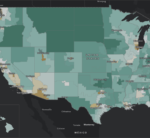

Maps
 The American Voting Population Learn More
 American Redistricting History Learn More
Profile

Sophia Garcia, the GIS and Outreach Director for Redistricting Partners in Sacramento, CA, understands the intersections of GIS, redistricting, and social justice.
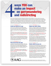
You Can Make an Impact
Interested in the basics of redistricting and what simple steps you can take on your own? AAG created a flyer highlighting four ways you can get involved in the redistricting process.
Download the Flyer