On the Map: The Wry Smile of Sable Island
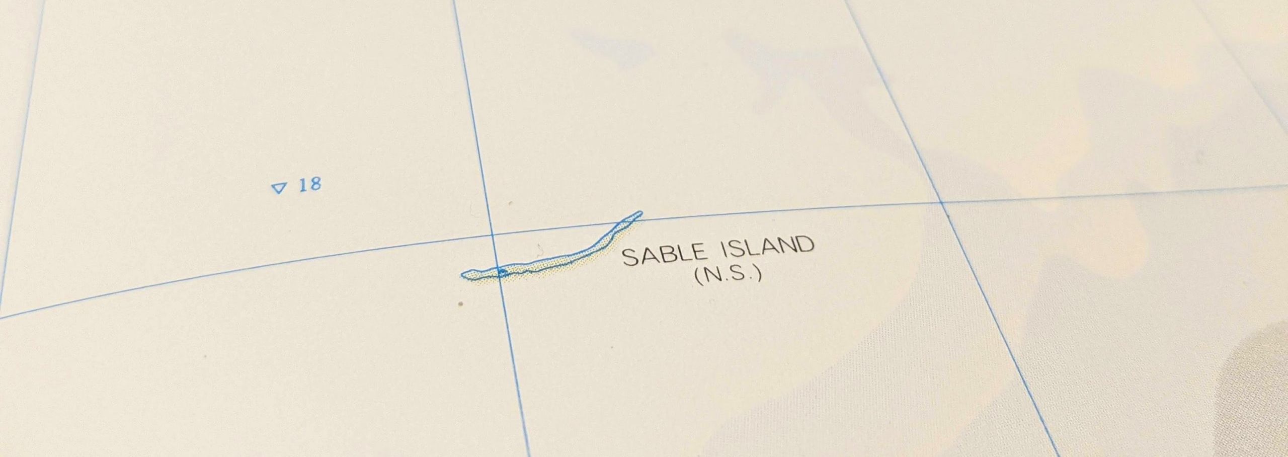
When you next find yourself moving your eyes or navigating a finger across a map of the Northwest Atlantic, you may be in for a surprise. About 175 km southeast of Nova Scotia, a seam appears on the surface of the ocean and opens up, ever-so-slightly, into a wry smile.
An adjacent label should offer a name: Sable Island.

Really? Can we be sure about this? The island is an anomaly, way out in the Atlantic, and there is nothing nearby that seems to justify its existence, geologically speaking. So it’s hard not to wonder about its position on the map, and its presence in the physical world.
It is tempting to imagine that the island’s unusually graceful outline might indicate the presence of a clever cartographer — one who has inserted a fictitious landmass in the Atlantic to suss out copycat mapmakers. There are precedents for such behavior on land after all: Ever heard of a “trap street”?
But a quick internet search confirms that Sable Island does exist. It is a place of sand, wind, waves, a single Scots pine (the only survivor of more than 80,000 trees planted since 1900), and feral horses, among other things.

Looking closer, Sable Island yields quirks far better than any tricky mapmaker could. For starters, it looks like a barrier island but is located much further from the coastline than typical barrier islands. It likely formed from a terminal moraine — a mass of rocks and sediment carried down and deposited by a glacier, — sometime during the last Ice Age. That origin story may also help to explain the unexpected stability of some of the island’s dune structures.
Over the last several centuries, Sable Island has also been notorious for attracting shipwrecks. Some 350 ships have succumbed to the sand bars, thick fog, and difficult currents characteristic of the area. Most of their remains have been crushed by waves and buried in the sand, making a full census impossible.

Despite challenges of navigating to and from Sable Island, a rich history of research began there in 1871 with establishment of the Meteorological Service of Canada. Since then, research has expanded to include studies of climate, geomagnetism, and ecology.
In 2013, Sable Island became protected as a National Park Reserve with the approval of Mi’kmaq stakeholders. Full national park status has yet to be achieved, pending settlement of Indigenous Peoples’ land claims within the Made in Nova Scotia Process.