Member Profile: Pinki Mondal
 As a child, Pinki Mondal eagerly awaited her father’s arrival home from long trips around the world, working for one of India’s mercantile navy companies. Her earliest geography lessons came in special moments with him: “When he used to come back home, we would sit down with a map like an Atlas, and he would ask me, ‘give me a country name.’ And my job was to point that out on a map.”
This first exposure to the study of geography sustained her, despite formal classes in elementary school that were less of a thrill. “I was not a great fan [of geography class],” she confesses. “The focus is so much on memorizing facts that sometimes it takes the joy out of it, out of the learning process.”
Fortunately, a dedicated geography teacher named Rita Chakraborty took note of Mondal’s lack of enthusiasm. When Mondal was in fifth grade, Ms. Chakraborty “would ask me, ‘why don’t you draw a map? Whatever you want.’” For each of the questions on an exam, Mondal was allowed to draw and connect her answers instead of just answering textual questions. “I would draw a map of that study area and point out my answers on that. I was not great at drawing, but that brought the joy back and it just stayed on. I think she realized that that’s the connection I have with geography: Identifying different places in different parts and just drawing that would give that joy back to me. I don’t know how she did it. But she did that. And I just kept doing it and I just loved it.”
Mondal studied geology, chemistry, and mathematics as an undergraduate at the University of Calcutta and got her master’s degree in applied geology from Jadavpur University. For her M.S. thesis, she worked with satellite images of the Sundarbans, “an immensely complicated and human-modified coastal system in India and Bangladesh,” she says. Part of a World Heritage Site, the Sundarbans are known for one of the world’s largest mangrove forests and the confluence of major rivers, with tidal waterways, mudflats, and small islands that host intricate coastal ecologies, including hundreds of birds, the endangered Bengal tiger, and other threatened species. It has also been home to millions of people for thousands of years. “The beauty of this landscape, viewed through the eyes of a satellite, just blew my mind,” Mondal recalls. “I knew at that moment that studying environmental geography was going to be the rest of my academic career.” She went on to get a doctorate in geography from the University of Florida, and now specializes in fragile coastal systems as assistant professor and director of Environmental Science at the University of Delaware.
Translating Science to the Public
As an Elevate scholar, Mondal hopes to become adept at distilling the core messages from her research so that she can better connect with a wider audience.
“I never thought of using some of my more technology-heavy work for such communications, but through Elevate I now have the training to get the core messages out, even from a more specialized piece of work.”
— Pinki Mondal
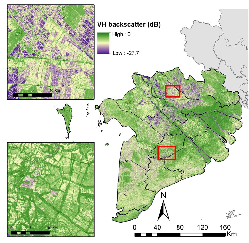
Recently, Mondal has translated the findings of her work with students and colleagues on the encroachment of salt water on croplands in Delaware, due to sea level rise. This climate-driven impact is threatening corn crops along with a centuries-old way of life for local farmers. Mondal used her media training from Elevate to field many interviews for print and viewing.
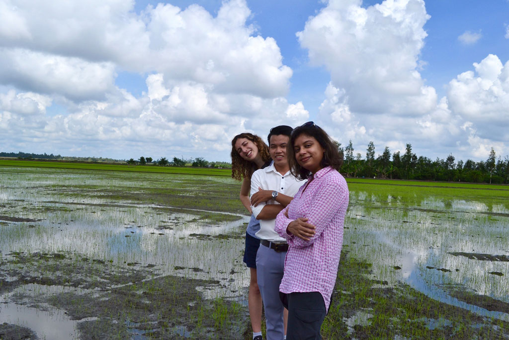
Aside from her work as a public scholar, Mondal enjoys mentoring and collaborating with students. “For undergraduate students, this is often about introducing them to the beauty of satellite imaging of our beautiful planet,” she says. “For graduate students, it is about being part of their journey of growing from a student into a scholar.”
She believes that geographers are uniquely suited to get the word out about climate impacts and solutions. “Through geography, I learned to connect the dots between space and society using satellite remote sensing. But I feel that all geographers, physical or human, strive to do just that — making the connection between our physical and human worlds. At the end of the day, Earth is an interconnected system where we need to understand how humans are changing their environments and how that is forcing our ‘normal’ to a new normal. Without geographic knowledge — the why or what of where — we won’t be able to synthesize the place-based knowledge for a global understanding.”
This article is part of a series of Member Profiles focused on AAG Elevate the Discipline scholars. Elevate the Discipline is an annual program that provides training opportunities and resources to help geographers connect their work to public and policy arenas. Find out more about Elevate the Discipline.