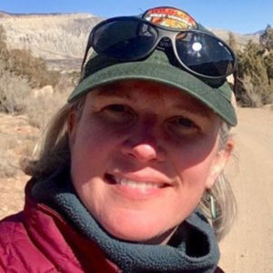
Jessica Perkins – GIS and Technical Support Program Manager, West Virginia
 Position: GIS and Technical Support Program Manager, West Virginia Division of Natural Resources, Wildlife Resources Section: Supporting Game Management, Fish Management, Environmental Coordination, Wildlife Diversity and Natural Heritage with geographic information systems, data, and planning needs.
What was your favorite class in K-12? Environmental Science and Math (geometry, algebra, trig…)
How did you first learn about and/or use GIS? In 1996 I was a park ranger student trainee alternating undergrad and working at a US Army Corps of Engineers lake project in Southern Virginia. We were using Trimble GPS units to map things like eagle nests, timber harvest areas, and permits. At the beginning we had a crude GIS in Microstation but as I was working there we transitioned into using ArcView. I went back to school and took classes in GIS because something really clicked and made sense working in this environment.
Name one thing you love about GIS and/or geography: Traveling and learning about all the amazing places on Earth and our connection to the natural world.
Why did you want to volunteer as a GeoMentor? About 15 years ago I worked with a group of students at Roanoke Valley Governor’s School for Science and Technology on a stream delineation and mapping project. This was my first GeoMentor experience before there was a GeoMentor program. It has been a fulfilling part of my career to give back and prepare students for a future in this field.
If someone asked you why they should learn about GIS and/or geography, how would you respond in one sentence? You should learn about GIS and geography because it makes the world more understandable: there is a geography of everything in the universe really and the position and relative position to other things often explains why it is there.
Websites:


